Radar / Satellite
Map Views
A Map view displays a map with data obtained from the Google Maps service to get location and directions in the real world.
Organization Admin can create required map views with different zoom levels based on the organizational requirement.
Once the Admin sets the views those will be available for all the users.
Step by step process on “How to view a map” in Zsuite, Quick and Easy with this video.
Go to visual Risk intelligence and select the map icon on the top left corner to see available views.
Once you select the view you can see the Map in a better perspective.
India view – Zoom Level 4

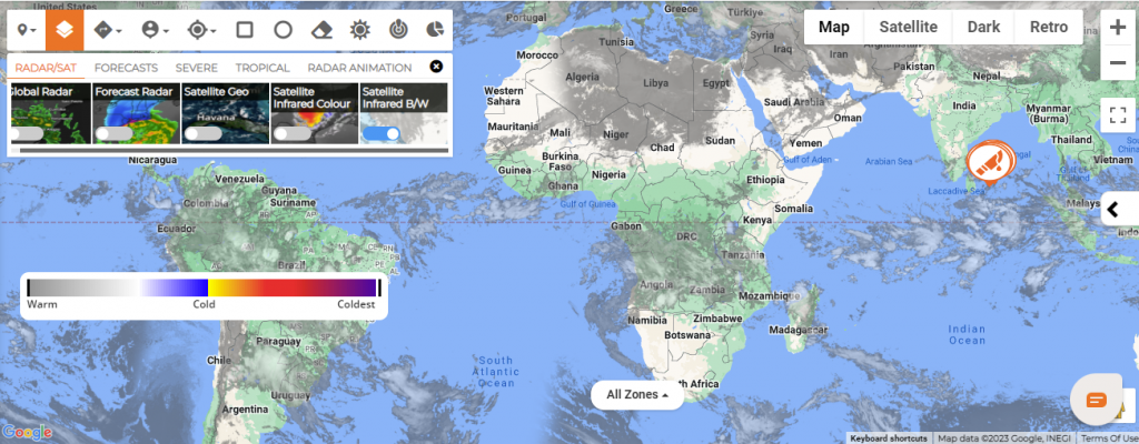
RADAR/SAT:
Global Radar: Global Radar tracks current wind, weather and ocean conditions as forecast by on an interactive animated map updated frequently.
FORECAST RADAR: Forecast radar map shows the location of precipitation, its type (rain, snow, and ice) and its recent movement to help you plan your day.

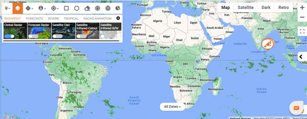
SATELLITE GEO: This map displays the latest and most realistic view of Earth from space, as taken from weather satellites to explore interactive various weather conditions including wind speed.
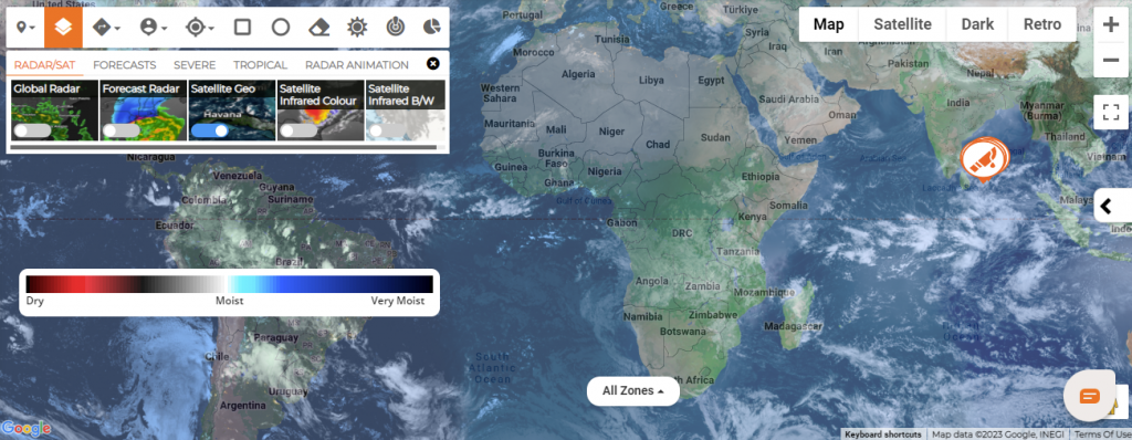
Satellite Infrared Color: The Infrared satellite image shows clouds by their temperature. Red areas indicate hot and blue areas indicate cold.
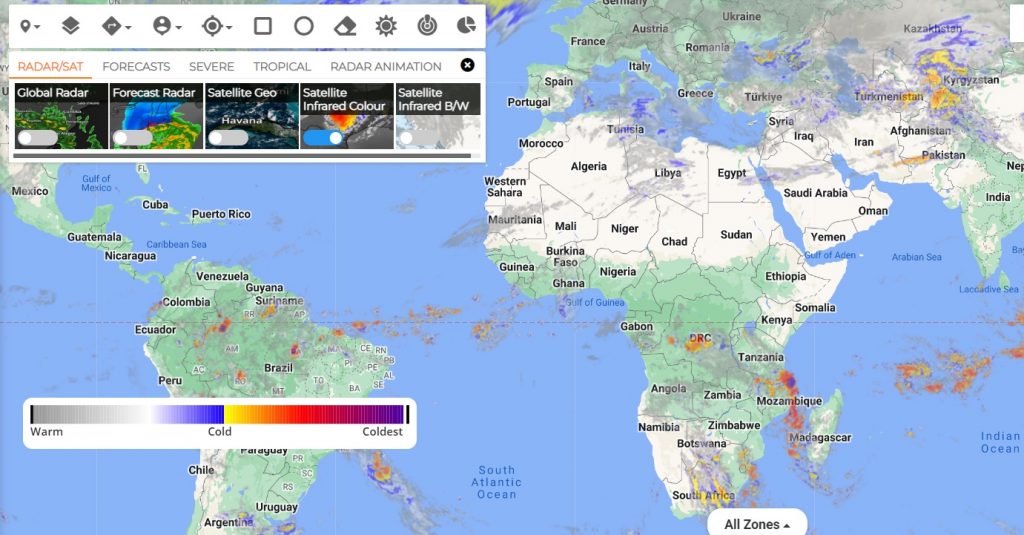
Satellite Infrared B/W: The temperature is interpreted by grayscale values. Cold objects are white and hot surfaces appear black.